How High Is the Wildfire Risk in Stanislaus County? See the Danger on This Interactive Map
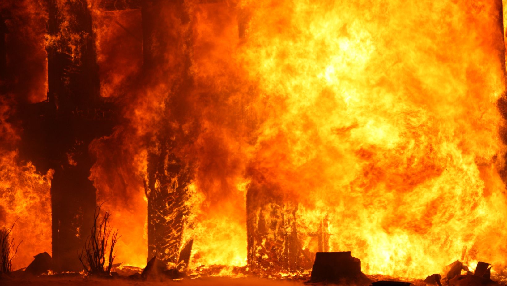
As wildfire season approaches in California, what’s the risk for Stanislaus County ?
Using data collected in March 2023 and risk assessments, the Federal Emergency Management Agency has created a map that shows which counties across the United States are the most at risk for wildfires .
Continue reading on NewsBreak
You might be interested in