
PLACES & EVERYDAY TURLOCK
Main Street is where you go for a downtown afternoon. Geer is where a bakery stop turns into a grocery run. Countryside is where a shopping list can become a bowling night. Knowing those differences makes Turlock easier to enjoy.
Updated 2026.
This directory follows the names people use in conversation and the streets that connect them. The areas below are practical descriptions, rather than a map of formal neighborhood boundaries.
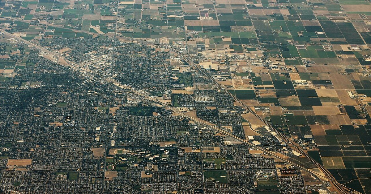
Five areas to get your bearings
- Downtown: Main Street, Golden State Boulevard and the smaller connecting blocks put shops, restaurants, Central Park and local history close together. Start with the Main Street guide.
- The Westside: West Main Street, Lander Avenue and the surrounding older blocks have their own markets, schools, churches and family businesses. West Main continues well beyond the downtown storefronts.
- Older east Turlock: The streets around Canal Drive, Berkeley Avenue, Minaret Avenue and East Avenue offer a different view of town: established houses, shade trees and the historic high school campus.
- The university side: Stanislaus State and the shops along Geer Road connect campus life with the daily routines of north Turlock.
- Northwest Turlock: Countryside Drive serves the regional shopping centers; Walnut Road connects residential streets and school campuses nearby.
The city’s design plan describes the contrast between older connected blocks and later subdivisions with cul-de-sacs. Cross streets matter when choosing a route, even for destinations that look close on a map.
Explore a street
- Geer Road — bakeries, groceries, campus connections and a changing shopping corridor.
- Countryside Drive — retail centers, dining and family entertainment near Highway 99.
- Golden State Boulevard — the old highway, downtown landmarks and the transit center.
- Walnut Road — schools, neighborhood connections and the working south end.
- Main Street — downtown storefronts, Westside businesses and surviving layers of local history.
The places a present-day map cannot show
Turlock’s first purpose-built high school opened in 1907 at Locust and High streets. The school’s own history records its demolition in summer 1963; the National Register nomination identifies the intersection. This was an earlier campus, separate from the familiar 1920s buildings on Canal Drive.
Other losses left marks on familiar streets. The Fire Department’s historical timeline records the old Woolworth’s building on West Main being destroyed in 1997 and the original Emanuel Hospital on East Canal Drive being razed in 2000. The Main Street and older east Turlock pages follow those changes.
For the photographs, shop displays and local memories that put names back onto those blocks, visit the Turlock Historical Society Museum at 108 S. Center Street.
Turlock Guide · Areas & Streets · Shopping centers & restaurants · Turlock history
