
Last updated
Monte Vista Crossings, Countryside Plaza, Pitman High and Pedretti Park bring people into northwest Turlock for shopping, school and sports. Monte Vista Avenue links Highway 99 with Stanislaus State; Countryside Drive and Walnut Road serve the shopping centers and neighborhoods along the way.
Monte Vista and Countryside: the shopping side
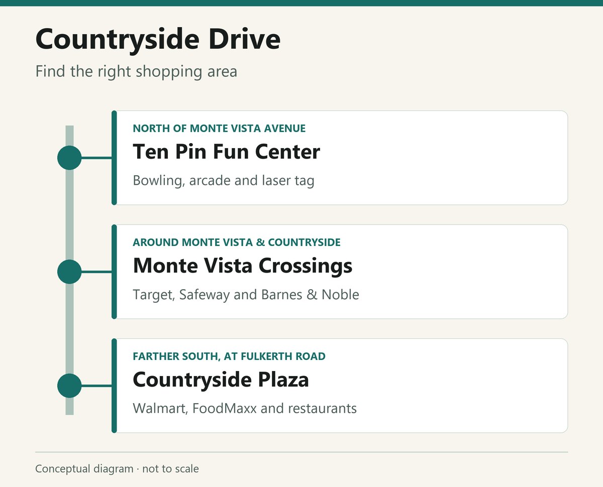
Monte Vista Crossings stretches around West Monte Vista Avenue and Countryside Drive. It is an outdoor shopping area with separate stores, restaurant buildings and parking lots. A Countryside Drive address can put you north or south of Monte Vista, so the street number matters.
- Target is at 3000 Countryside Drive. Its store page includes in-store pickup, Drive Up and the separate pharmacy and optical hours.
- Safeway is at 3051 Countryside Drive. The store page lists its pharmacy, deli and other departments.
- Barnes & Noble is at 2693 Countryside Drive. The store also sells games and vinyl, and lists its local storytimes and other events online. Our New & Notable guide covers the bookstore alongside recent restaurant arrivals.
For food in this part of town, our Mango Crazy and Habit Burger & Grill pages cover the Countryside locations. The Countryside Drive guide follows the corridor beyond the shopping center.
Countryside Plaza is farther south, around Fulkerth Road. Its Walmart is at 2111 Fulkerth Road—a different store from the Walmart Neighborhood Market on Geer Road. The Fulkerth store page lists grocery pickup, automotive service, pharmacy and optical departments. FoodMaxx and several restaurants also serve this end of the corridor.
Bowling north of Monte Vista
Ten Pin Fun Center is at 3700 Countryside Drive. Bowling, an arcade, laser tag and a food menu make it a destination in its own right. It has league bowling as well as casual play, and its website handles reservations and group bookings.
The businesses along Countryside have individual hours; there is no single closing time for the whole shopping area. Target’s pharmacy, for example, keeps its own schedule within the store. For a late meal or an evening of bowling, use the restaurant or entertainment venue’s hours.
Walnut, Pitman and the residential streets
North Walnut Road runs through the school-and-park side of northwest Turlock. Turlock Junior High is at 3951 N. Walnut Road; Walnut Elementary Education Center is farther north at 4219 N. Walnut Road. Pitman High School is nearby at 2525 W. Christoffersen Parkway.
Walnut Elementary’s Discovery Math/Science and Renaissance Visual and Performing Arts programs are magnet options. Families looking at a home nearby should use Turlock Unified’s enrollment information and school locator for the actual school assignment or application. The Walnut Road page has more about these campuses and the rest of the street.
The city’s General Plan describes the North Turlock Master Plan, completed in 2001, as including residential neighborhoods, schools, parks and connecting walking and cycling routes. It places Pitman and the Regional Sports Complex in that development area. Those residential streets are a different part of northwest Turlock from the large retail lots beside the freeway.
Parks and tournament grounds
- Pedretti Park, 2400 N. Tegner Road. West of Highway 99, this complex has four softball fields and a baseball diamond, along with a playground and picnic facilities. The city dates its construction to 1977. Field availability and rentals are separate from using the park’s picnic and play areas.
- Turlock Regional Sports Complex, 4545 N. Kilroy Road. The Gemperle Fields host soccer and softball. The city’s sports-field page has rental details; fields may be assigned to leagues or tournaments.
- Curt Andre Park, 4235 N. Kilroy Road. Beside the Regional Sports Complex, it has swings, sand volleyball, picnic areas and walking paths.
- Four Seasons Park, 1401 Four Seasons Park Drive. A neighborhood playground, open grass and picnic areas provide an alternative to a tournament venue.
- BMX Bike Park and Walnut Basin, 4013 N. Walnut Road. The bike park has jumps for different ability levels. Helmets, knee pads and elbow pads are required; the larger grounds also serve as a storm basin.
The city park listings describe each park’s facilities. Our Turlock parks guide compares playgrounds, picnic areas, dog parks and sports spaces across town.
How farms became shopping centers
The Northwest Triangle Specific Plan was adopted in 1995 for about 800 acres between Golden State Boulevard, Highway 99 and Fulkerth Road. It helped organize roads, utilities and development in an area that mixed farming with urban uses.
In its history of Monte Vista Crossings, the Turlock Journal reported that developer Hall Equities purchased the land in 1999, began construction in late 2000 and completed the first phase in 2001. Stores, restaurants and additional phases followed over the next decade.
Monte Vista east toward the university
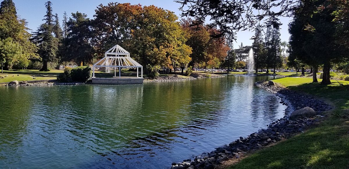
Continuing east on Monte Vista takes you to Stanislaus State at One University Circle, Turlock, CA. The university’s driving directions put University Circle about 1.5 miles east of the Highway 99 exit. The campus has lakes, a public art gallery, concerts and college sports; its event venues and parking lots are spread around the grounds.
Geer Road meets Monte Vista along the university’s eastern side. Our Geer Road guide covers its bakeries, groceries and restaurants. For campus history, exhibitions, performances and visitor parking, use the Stanislaus State guide.
The bus connections
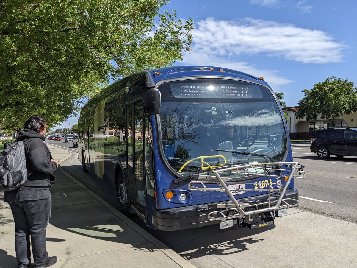
Turlock Transit Route 1, Countryside connects the transit center with Countryside and Monte Vista, then continues through the Monte Vista and Geer corridors. Its route page gives the stop sequence and departure times. The return trip may use different stops from the trip out.
The S Route 29T also lists Monte Vista and Countryside on its service between Modesto, Ceres and Turlock. Our Roger K. Fall Transit Center guide explains local and regional connections, fares and the separate Amtrak station in Denair.
