
Last updated
Main Street continues west from Turlock through farmland, across the San Joaquin River and into Patterson. The route connects Highway 99 with the west side of the Valley; Patterson’s streets lead on to Interstate 5.
Where Main Street actually goes
In Turlock, the road is West Main Street. Beyond town, maps label the rural stretch West Main Avenue. At the San Joaquin River it becomes Las Palmas Avenue, carrying you into Patterson. The city’s directions page puts the drive from the Highway 99 exit to Patterson at about 15 miles.
To reach Interstate 5, continue through Patterson using its connecting streets. One straightforward connection is Highway 33 south to Sperry Avenue, then west to the freeway. Sperry is the city’s main arterial between 33 and I-5, as shown in its 2026 street report. Main Street connects you to I-5; it remains a separate road.
- Turlock to Patterson: West Main Street → West Main Avenue → Las Palmas Avenue. Open directions.
- Patterson to I-5: local streets connect with Sperry Avenue and the interchange west of town. Open directions to the interchange.
The river crossing in the middle
The San Joaquin River divides the drive into two halves. The Las Palmas Avenue bridge was built in 1959. A Stanislaus County engineering record describes a two-lane crossing about three miles northeast of Highway 33. That span connects the long rural stretch out of Turlock with the approach to Patterson.
This is a rural corridor, with crossroads and driveways rather than freeway ramps. Leave room for a slower vehicle or a truck turning off the road. For disruptions, the county links its road closure map and public works projects in one place.
Patterson planned an entrance worth remembering
The palms on East Las Palmas belong to a deliberate town design. Thomas W. Patterson laid out circles and streets radiating from a center, drawing inspiration from Washington, D.C., and Paris. The colony map was filed in December 1909; incorporation followed in December 1919. Patterson’s history page tells the story of the ranch becoming a town.
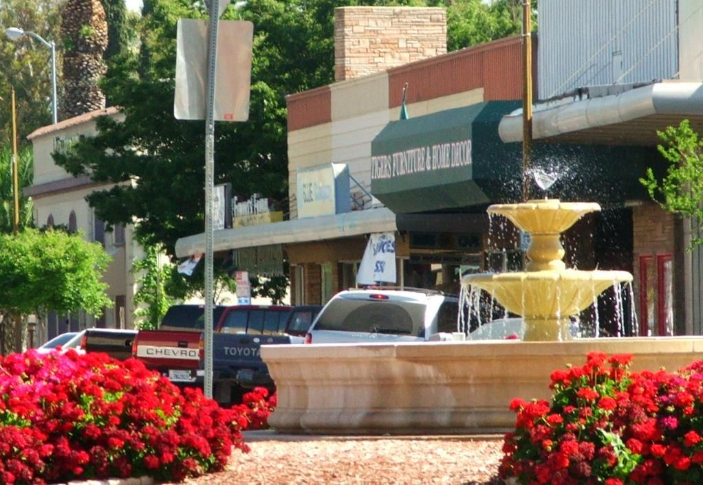
The city’s design guidelines date the huge Canary Island date palms on Las Palmas to around 1913 and identify them as a historical resource. A century later, they still announce the eastern approach. The road into Patterson was meant to look like an arrival.
Another connection runs out of sight
West Main also carries part of Turlock’s water story underground. The North Valley Regional Recycled Water Program sends treated water from Turlock and Modesto to the Delta-Mendota Canal for agricultural irrigation and downstream wildlife refuges. The project’s construction manager, West Yost, describes installing Turlock’s pipeline along South Carpenter Road, West Main Avenue and Jennings Road. A Del Puerto Water District report dates Turlock’s first delivery into the canal to March 12, 2020.
There is a bus connection, too. The S’s Route 45 links the Turlock Transit Center with Patterson, continuing toward Crows Landing and Newman. Its current timetable lists stops near Las Palmas and downtown Patterson, making a westside visit possible without driving.
For places to stop at either end, see our Turlock Main Street guide and Patterson guide.
Keep following the road stories in our Highway 99 history and Highway 152 and Los Banos guide.
