
Last updated
Before Highway 99 meant on-ramps and a fast trip to Modesto, it meant driving through Turlock. Golden State Boulevard carried the highway, and a dangerous railroad crossing stood between motorists and town. The freeway took decades to arrive. Its route helped decide where the next Turlock would grow.
The old highway is still part of town
The familiar name Golden State Boulevard is a piece of road history. It was the through-town route of U.S. 99, the Golden State Highway. When you use it today to reach downtown, you are following the corridor that once carried long-distance traffic through Turlock.
Caltrans traces the state highway’s beginnings to 1909, when it was Legislative Route 4. Paving followed around 1913–14. The U.S. highway system added the 99 number in 1926. Early versions were ordinary roads; some stretches later had three lanes, with the middle lane serving passing and turning traffic. Caltrans’ highway history describes the long conversion to divided roads and, eventually, freeways.
Why the bridge into town mattered
The original railroad crossing south of Turlock had been surfaced in 1913. A bridge solved a problem that another pavement project could not: cars and trains were using the same crossing. Engineers considered taking the road underneath the tracks, but shallow groundwater would have made that difficult and expensive. They chose an overpass. The November 1939 construction report explains the decision.
On April 5, 1940, Turlock celebrated the new $300,000 overpass with the Turlock High School band, speeches and a luncheon at Hotel Carolyn. Two school drum majorettes cut a blue-and-gold ribbon across the bridge. An everyday drive into town had become a civic occasion. See the dedication story and photographs.
Turlock waited for its freeway
By late 1960, the state’s highway department reported that Turlock was the only major San Joaquin Valley city where U.S. 99 had no freeway completed, under construction or budgeted. The route had been chosen, but choosing it and building it were different things.
“The route for the Turlock freeway has been adopted.”
California Highways & Public Works, November–December 1960
The bypass finally arrived in the early 1970s. The Historic Highway 99 Association identifies 1973 as the year the old alignment at Taylor Court was bypassed. It is a small surviving clue to the much larger change: through traffic could now go around town.
The designation changed, too. U.S. 99 was eliminated in California in 1965; this part of the Valley became State Route 99. Turlock’s freeway belongs to that later state-highway chapter. The association’s route timeline follows the old highway’s replacements.
A road that changed the shopping map
The freeway’s location was a local choice with lasting consequences. Turlock’s General Plan credits community efforts in the early 1960s with securing an alignment that skirted the city instead of cutting through it.
The same plan describes newer retail centers oriented toward freeway traffic, including Countryside Plaza at Fulkerth Road and Monte Vista Crossings at Monte Vista Avenue. The older storefront district and the freeway shopping district grew around different versions of the same transportation corridor. That helps explain why Turlock has both a walkable Main Street and large shopping centers beside 99.
Look beyond the exit sign
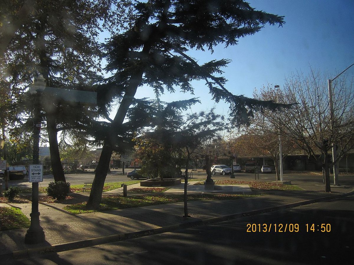
For a short look at the old route, take Golden State Boulevard into downtown and stop at Central Park, 115 S. Golden State Boulevard, Turlock. The road, railroad and downtown streets are close enough here to make the town’s older layout easy to see.
For the larger story, the Historic Highway 99 Association’s video follows the highway’s origins and what replaced it across California.
Before a trip on today’s freeway, Caltrans QuickMap shows current incidents and closures. For the street-level history, keep exploring Golden State Boulevard and Turlock’s history.
Related roads: Highway 152, Los Banos and Pacheco Pass · West Main Street to Patterson and I-5.
